
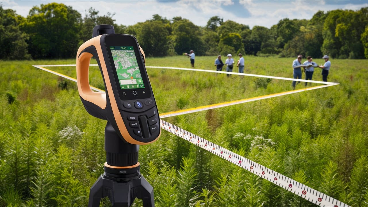
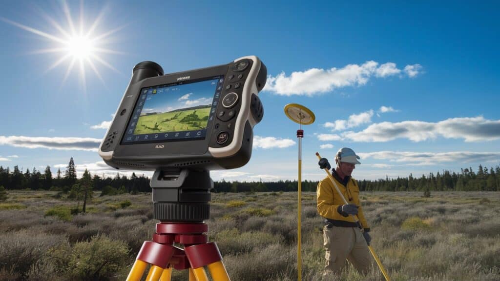
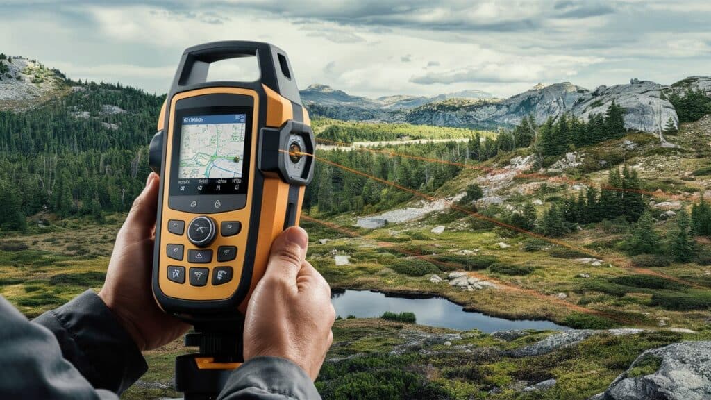
I want to talk about the best Android Land Measuring App in this article. They prove helpful for anybody involved in the real estate business, surveying, or anyone interested in getting precise measurements.
The following are, therefore, some of the best selections you can choose from to enable accurate and fast land measurement, be it a user-friendly interface or advanced features.
Key Point Best Android Land Measuring Apps List
| Tool Name | Key Point |
|---|---|
| Area Calculator for Land | Provides precise area measurements for land parcels. |
| GPS Fields Area Measure | Accurately calculates land area using GPS technology. |
| GPS Area Calculator | Uses GPS technology to calculate land areas. |
| Geo Area Calculator for Land | Combines geographic data to measure land areas. |
| MapPad GPS Land Surveys | Integrates GPS and mapping for land surveys. |
| GIS Surveyor | Utilizes GIS data for accurate land measurements. |
| GPS Field Area Measure Tool | Focuses on field measurements using GPS. |
| Land Calculator | Simple tool for calculating land areas. |
| Geo Measure Area Calculator | Measures land areas with geographic precision. |
| Surveyor Tools Free | Offers various free tools for land surveying. |
10 Best Android Land Measuring Apps
1. GPS Fields Area Measure
GPS Fields Area Measure is an outstanding Android application for land measuring purposes.
It features a friendly user interface and exact calculations that utilize GPS data. Users can easily measure area, distance, or perimeter by selecting it on the map or walking around the property boundary.

Among other things, this application supports various units of measurement, has live tracking, allows for the sharing of measurements, and allows the export of data in several formats.
Its multifunctionality makes it perfect for farmers, landowners, and people who need precise mobile land measurement tools.
Area Calculator for Land Features
2. Area Calculator for Land
Area Calculator for Land is a reliable Android app developed to provide fast and accurate land measurements.
It eases calculating the area, distance, or perimeter by enabling users to mark points on a map or manually enter coordinates.
The application has various unit conversions, thus making it appropriate for use in diverse regions with different needs.
With its intuitive interface and utility tools that are easy to use, this app caters to both professionals and casual users, be it in agriculture planning, real estate, or personal land evaluation.
This add-on feature saves time while exporting the results by saving them online and sharing them with others as needed.
Area Calculator for Land Features
3. GPS Area Calculator
GPS Area Calculator is a practical Android application created for land measurement that combines GPS precision with seamless UX.
This app calculates any land plot’s area, distance, and perimeter in seconds by marking the desired points on a map.
It supports different units of measurement and comes with several valuable features, such as real-time tracking and the ability to save and share measurements.
Whether you are a farmer or surveyor or need to measure your property, the GPS Area Calculator is the correct answer for accurate and trouble-free land measurement.
GPS Area Calculator Features
4. Geo Area Calculator for Land
The Geo Area Calculator for Land is an adaptable Android app developed for accurate land measurement.
It calculates any land plot’s area, distance, and perimeter by marking points on a map or using GPS tracking.

The application has various units of measurement and the capability to calculate in real time and save, share, or export the results obtained.
Its well-thought-out user interface and simplicity suit everybody, ranging from agriculturists to property dealers, as they can rely on it when conducting precise land evaluations.
Geo Area Calculator for Land Features
5. MapPad GPS Land Surveys
The MapPad GPS Land Surveys is a robust Android app meant for correct computing of the land and surveying works.
You can calculate area, distance, and perimeter by drawing points on the map or using GPS in real-time tracking.
The app supports different units of measurement and has many other features, such as saving and exporting data, which make it worthwhile to nonprofessionals and specialists.
Whether you work at a farm, construction company, or land surveyor’s office, MapPad provides reliable functionality for precise land measurements and mapping, improving productivity when working outside.
MapPad GPS Land Surveys Features
6. GIS Surveyor
The GIS Surveyor is a full-fledged Android platform application that maps and measures land for professionals and amateurs.
To accurately measure areas, distances, and perimeters, the app uses GPS technology to collect data very precisely.

It can be used in diverse regions since it supports various coordinate systems and units of measurement.
For example, its functions include real-time tracking on a map, importation or exporting of data, and offline mapping, among other features, which makes it well-suited to agricultural tasks, forestry, urban planning, etcetera.
In addition to being user-friendly, the interface allows for efficient completion of complicated terrain surveying tasks.
GIS Surveyor Features
7. GPS Field Area Measure Tool
This GPS Field Area Measure Tool is a powerful Android application for accurate and precise land measurement activities.
Users can get area, distance, and perimeter measurements from their Android devices by marking points on a map or using real-time GPS tracking.
It could adapt to different needs, such as farming, forestry, or real estate and construction, by supporting a variety of units of measurement.
In addition to these functions, the app provides facilities like saving them in various formats and sending them via email, making it flexible and user-friendly.
Since this application’s interface is simple to use while its calculations are accurate, you can rely on it when you want to measure your land effectively.
GPS Field Area Measure Tool Features
8. Land Calculator
Android is the most versatile platform. Land Calculator is an app that measures land accurately and helps both professional and casual users.
It allows users to measure land area, distance, and perimeter by marking points on a map or using GPS for real-time data acquisition.

The application supports several units of measurement, including distance, area, and latitude.
Additional features such as saving, sharing, and exporting measurements enhance its versatility.
Land Calculator simplifies land measuring tasks with its user-friendly interface and the accurate results delivered, making it an indispensable tool for farmers, surveyors, real estate agents, and all those needing precise land calculations.
Land Calculator Features
9. Geo Measure Area Calculator
Geo Measure Area Calculator is a well-performing Android app for accurate land measurement.
It allows users to compute the area, distance, and perimeter of any plot of land by putting points on a map or following them with a GPS to get an exact location from a building or as a human.
Various measuring units are used in this app, making it suitable for different needs and regions.
Key features include saving, sharing, and exporting measurements, enhancing its utility for professionals and casual users.
Whether you’re into farming, property, or surveying, the Geo Measure Area Calculator can be your reliable and user-friendly tool for all your land measurement tasks.
Geo Measure Area Calculator Features
10. Surveyor Tools Free
Surveyor Tools Free is a top pick for an Android app targeting land measurement and comes with a complete array of features without any price tag.
The application allows users to accurately measure the area, distance, and perimeter using GPS or marking points manually on the map.

Different measurement units and several vital tools are supported for saving, sharing, and exporting measurement data.
With its intuitive interface and robust functionality, Surveyor Tools Free is perfect for land surveyors, real estate agents, and anyone needing to measure land reliably and accurately without spending money.
Surveyor Tools Free Features
How To Choose the Best Android Land Measuring Apps
There are many things to consider when selecting the best application for measuring plots of land with Android.
Accuracy
You should select applications with high global positioning system accuracy and dependable measurement tools to avoid erroneous results.
User Interface
If you require complicated measurements, ease of use is crucial and will be highly determined by a user-friendly interface.
Features
The most critical areas for consideration include area, distance, perimeter calculations, data saving, and sharing and exporting functionalities.
Unit Options
The app should support different units of measure for various requirements and regions.
Offline Functionality
It should, however, be noted that some places where this work is done may not have the Internet. This will, therefore, necessitate one to go for an application offering offline functionality.
Reviews and Ratings
You can also use customer ratings and reviews to measure reliability level, efficiency rate, and customer service quality.
Cost
Compare free versus paid alternatives per your budget limits while ensuring they meet your needs.
Conclusion
When choosing the most excellent Android land measurement app, accuracy, ease of use, and core features such as calculating area, distance, and perimeter must be given priority.
Availability in different units of measure, offline capability, and cost are other things that must be considered when evaluating them.
For more information about a particular software software, follow its comment section and user ratings.
It will be easy if these factors are well thought out, thus giving room for an adequate selection of an application that matches your land measuring needs perfectly with precision and efficiency in your tasks.